

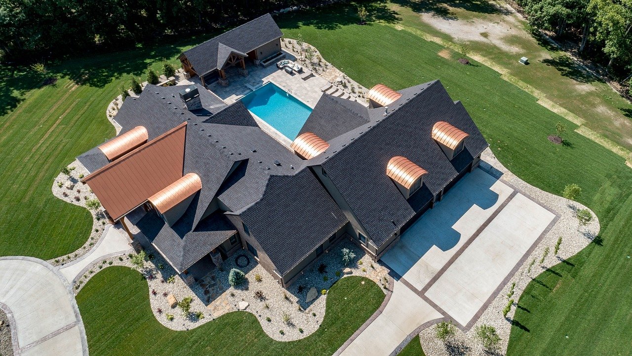
Aerial photography (or airborne imagery) is the taking of photographs from an aircraft or other flying object. Mounted cameras may be triggered remotely or automatically; hand-held photographs, videos, or 3D scans may be taken by a photographer.
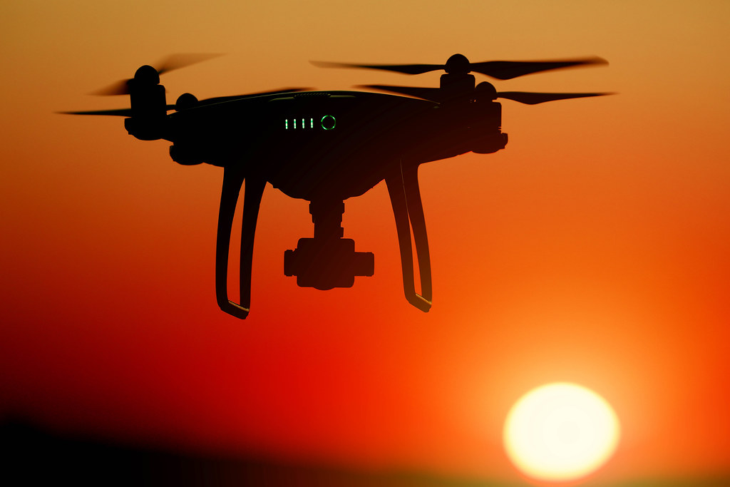
ASI offers fully integrated aerial digital topographic mapping services. We use aircraft equipped with the newest digital mapping cameras, airborne GPS, and inertial measurement systems. Our staff of experienced and licensesed pilots, programmers, and technicians is uniquely qualified to deliver your critical project -- on-time and on-budget. Sign up now to get started
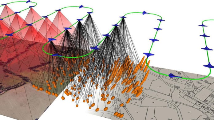
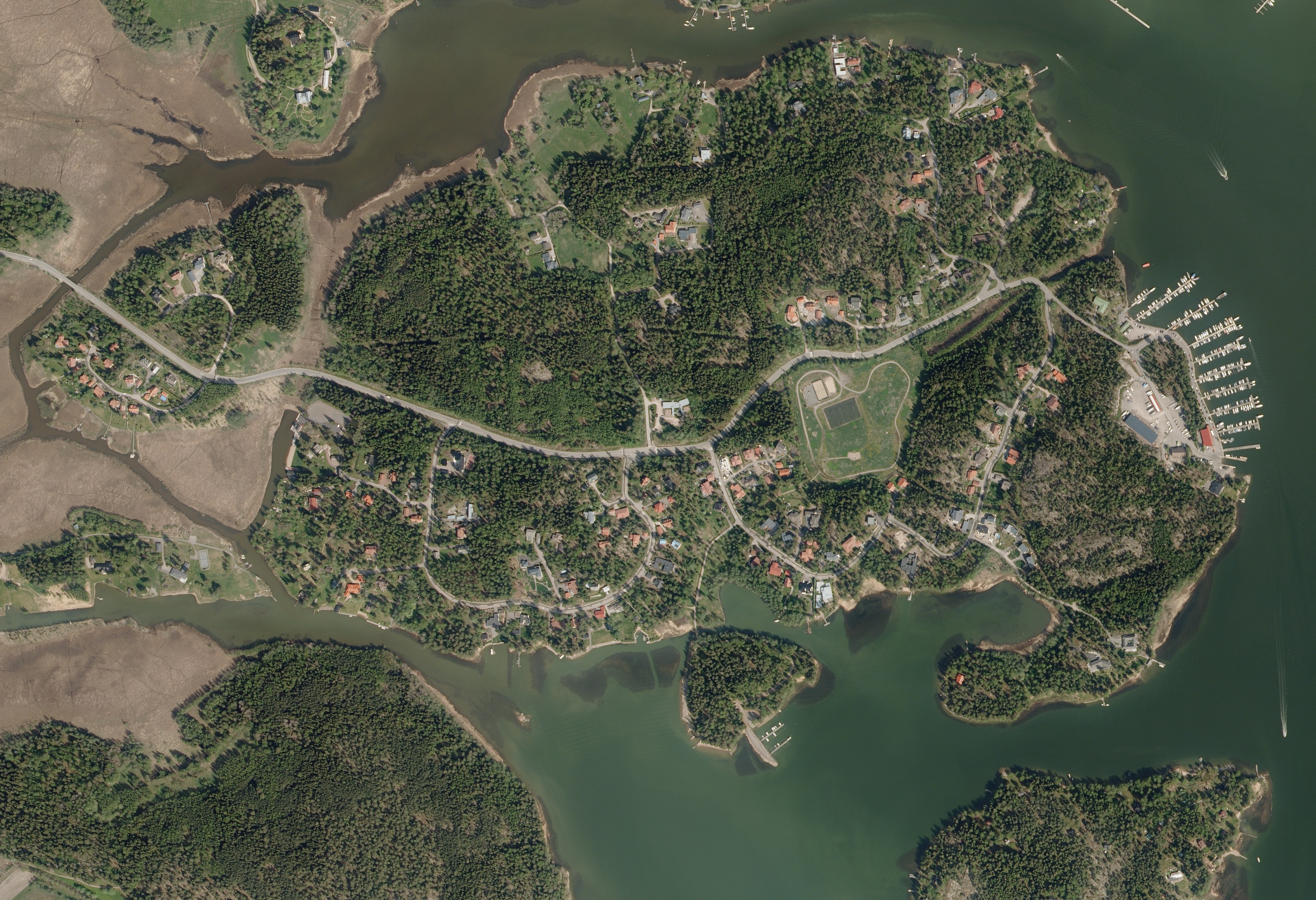
Is your project too large for a ground survey? Consider Aerial Mapping Instead. Our Aerial Orthographic Imagery allows you to see the landscape from above, and can assist with resolving discrepancies with other technologies. Contact us Today for your Free Quote!
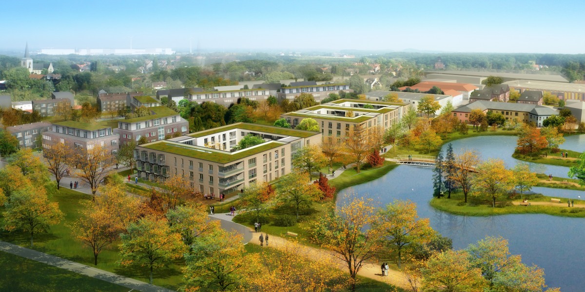
Drone based renderings offer a wide variety of advantages. At ASI we provide an accurate and realistic representation of your project. Our drone based technology allows us to deliver your renderings of your project from any angle. Combined with our world class previsualization services and the only limitation to your Architectural Previz project is your imagination. Let us create a stunning render of your project today!
Easily drive increased interest and traffic to your Real Estate listing. Gorgeous aerial stills and video are the best and easiest soltion to sell your listing. Let us capture your listing today!
Appointments are filling quickly. Contact us today!